

The port authority has commissioned the consortium of HydroBIM, the BIM Association and scan3D to map the seaport's areas digitally.
The cloud platform will integrate geographical and spatial data, allowing for creating past, present, and future representations (in two and three dimensions) of the Port of Gdynia's infrastructure.
Additionally, the represented pieces, down to single objects, will have their data sets, including technical documentation.
According to the port authority, having a common digital data environment will improve asset management, a.o., better maintenance.
The solution will have bank-grade cyber security.
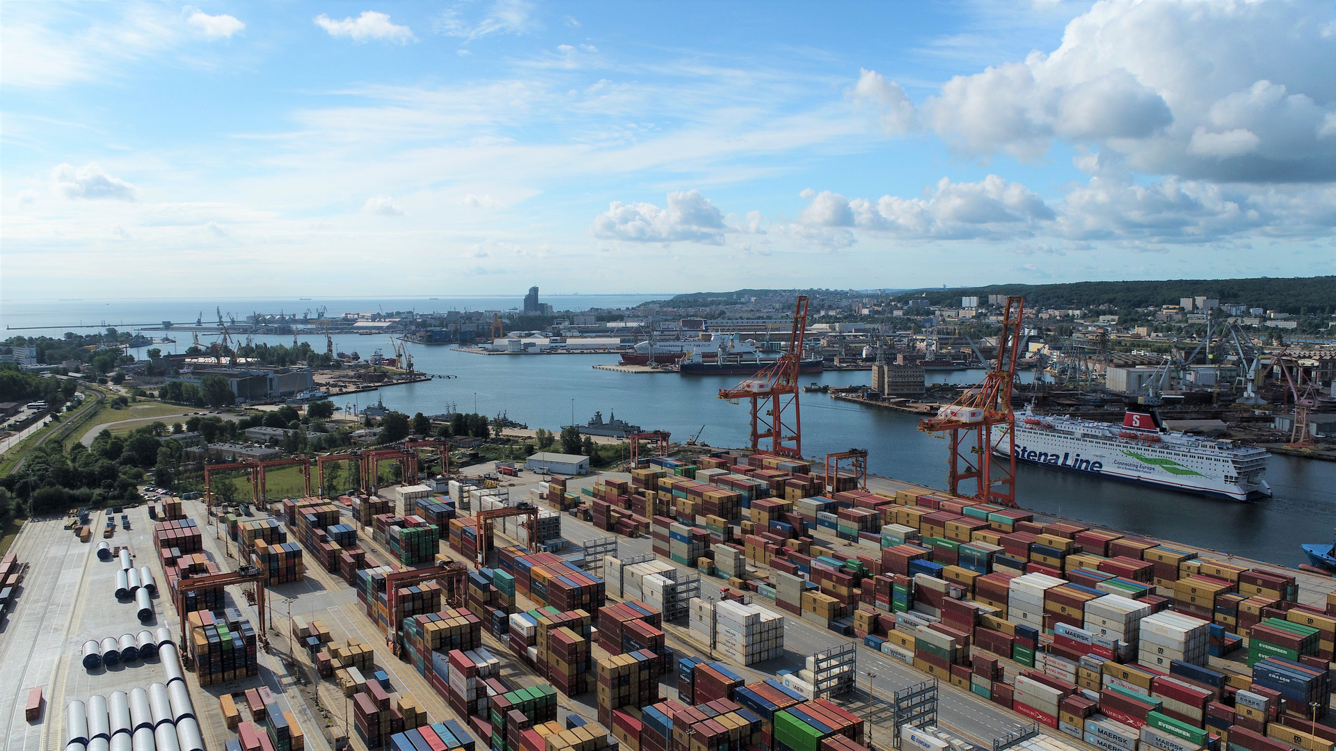
Photo: Port of Gdynia